| Distance (Miles): | Ascent (Metres): | Time (Hours): |
| 13.08 | 1160 | 9 |
| Difficulty: | Technicality (x/10): | Enjoyability (x/10): |
| Severe | 7 | 7 |
Continue reading Scoat Fell / Steeple / Haycock / Caw Fell / Seatallan / Buckbarrow
| Distance (Miles): | Ascent (Metres): | Time (Hours): |
| 13.08 | 1160 | 9 |
| Difficulty: | Technicality (x/10): | Enjoyability (x/10): |
| Severe | 7 | 7 |
Continue reading Scoat Fell / Steeple / Haycock / Caw Fell / Seatallan / Buckbarrow
| Distance (Miles): | Ascent (Metres): | Time (Hours): |
| 7.93 | 909 | 6 |
| Difficulty: | Technicality (x/10): | Enjoyability (x/10): |
| Difficult | 7 | 8 |
| Distance (Miles): | Ascent (Metres): | Time (Hours): |
| 7.07 | 1000 | 6 |
| Difficulty: | Technicality (x/10): | Enjoyability (x/10): |
| Difficult | 5 | 8 |
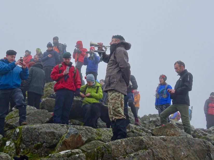
Continue reading Base Brown / Green Gable / Great Gable (Remembrance Service)
| Distance (Miles): | Ascent (Metres): | Time (Hours): |
| 6.96 | 909 | 6 |
| Difficulty: | Technicality (x/10): | Enjoyability (x/10): |
| Difficult | 5 | 5 |
| Distance (Miles): | Ascent (Metres): | Time (Hours): |
| 8.92 | 863 | 6 |
| Difficulty: | Technicality (x/10): | Enjoyability (x/10): |
| Difficult | 7 | 7 |
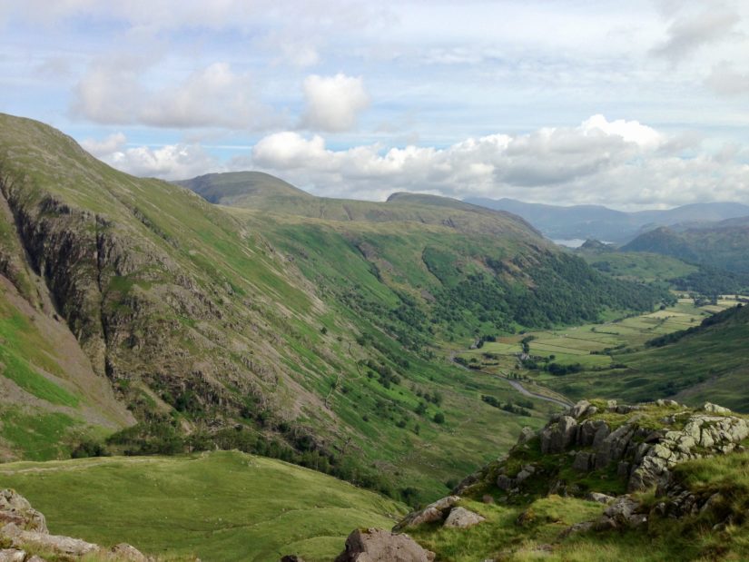
Continue reading Seathwaite Fell / Allen Crags / Red Beck Top / Glaramara / Dovenest Top